Bayou Chene Flood Protection Structure
Location
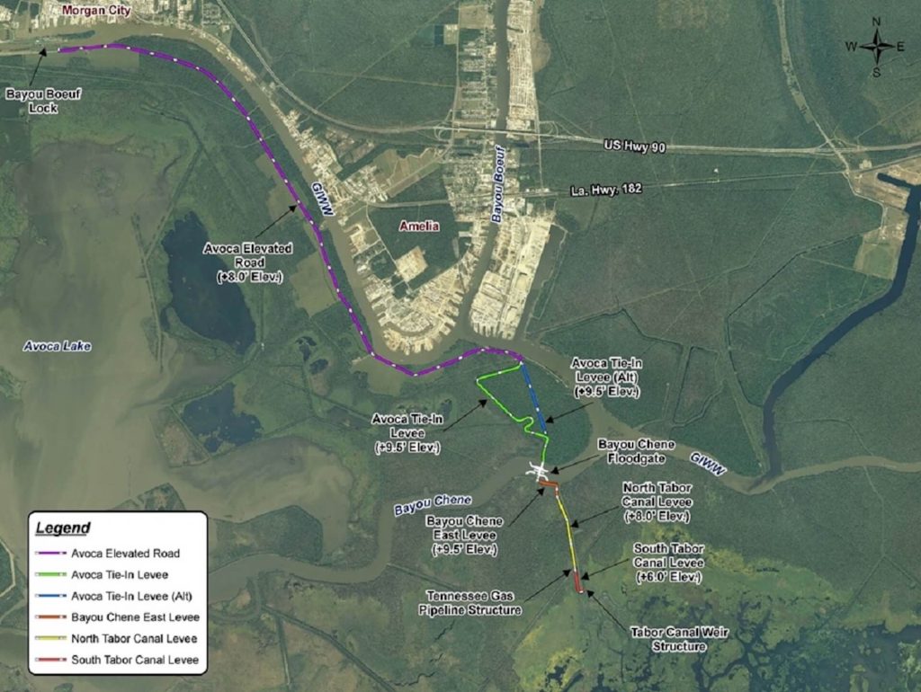
St. Mary and Terrebonne Parishes, Louisiana, south of Avoca Island
Latitude 29°37’20.98”N Longitude 91°5’36.31”W
Scope of Work
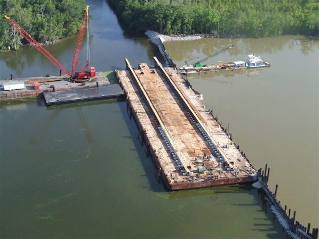
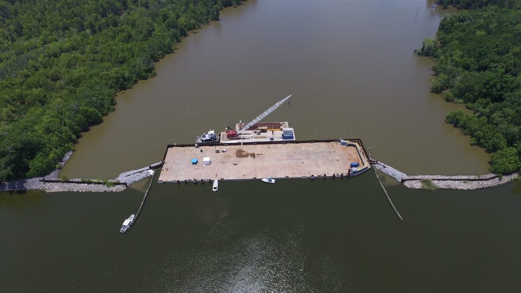
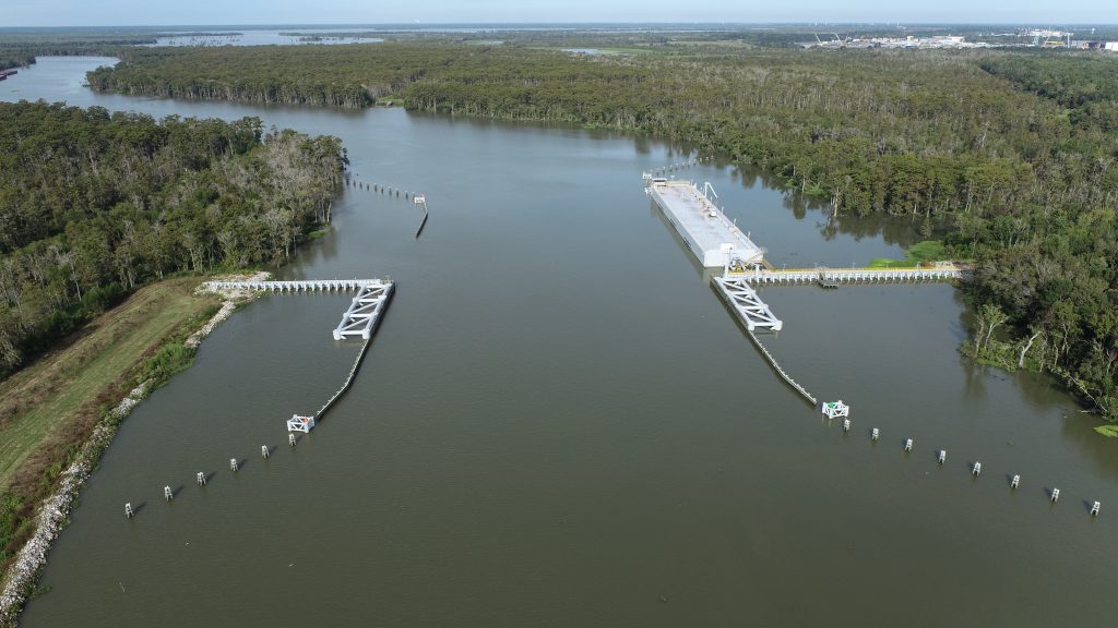
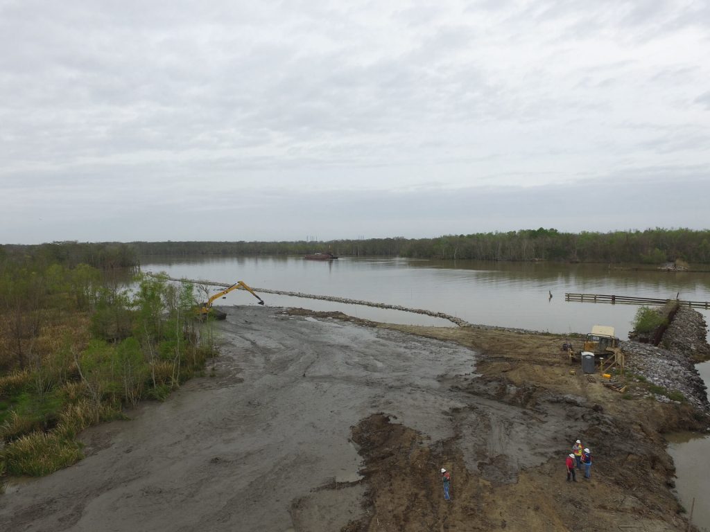
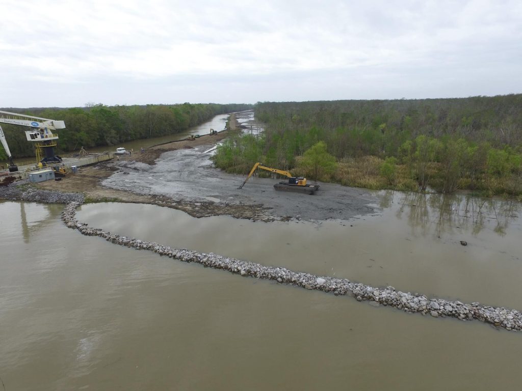
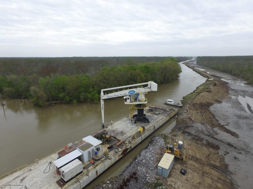
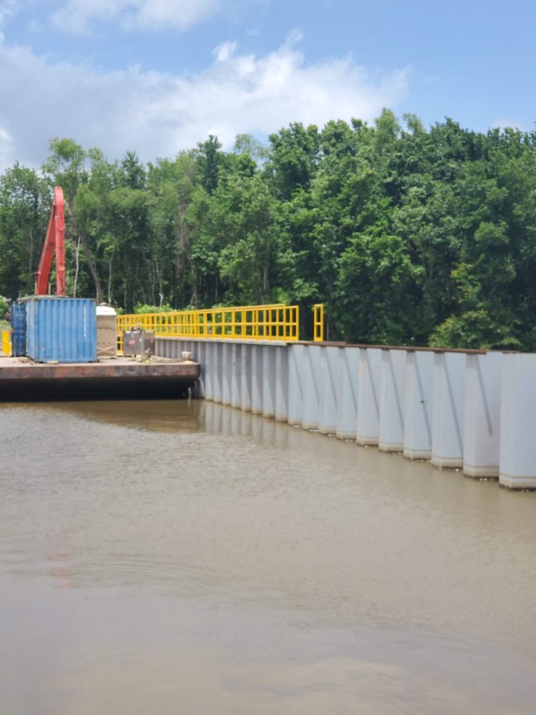
In May of 2011, the St. Mary Levee District (SMLD) was faced with unprecedented high water elevation predictions threatening St. Mary, Terrebonne, Lafourche, St. Martin, Assumption and Iberville Parishes. SMLD constructed a temporary flood protection structure consisting of a barge floodgate, sheetpile floodwalls, rip rap, and hesco baskets to prevent the areas from flooding. The structure withheld an additional 3’ of water from the parishes mentioned above.
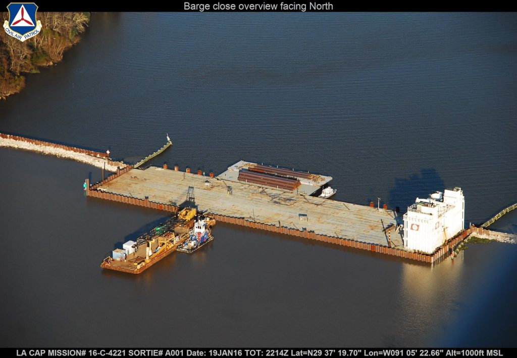
In 2016, another high water event in the Atchafalaya River threatened the surrounding 6 parish area. APTIM was contracted to design an emergency structure to prevent backwater flooding. The structure was designed, bid, and constructed in 15 days, utilizing existing wing walls from a previous flood fight. The emergency structure was left in place until the removal was advertised in July 2016 due to a greater than 1’ water differential between the protected and unprotected sides.
In 2019, at the request of Governor John Bell Edwards and officials at CPRA, the levee district installed the emergency structure again. This decision was made because with already elevated water levels and an anticipated opening of Morganza, the flooding could be devastating. The structure was installed utilizing material from the 2016 closure and was completed in 7 days. Within a matter of days of completion, areas that were already flooding experienced relief from the high river.
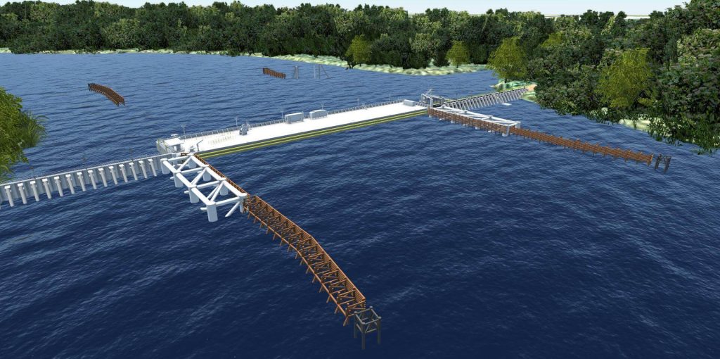
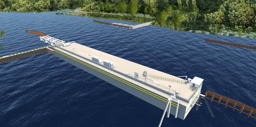
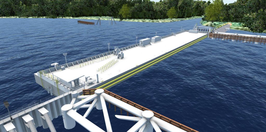
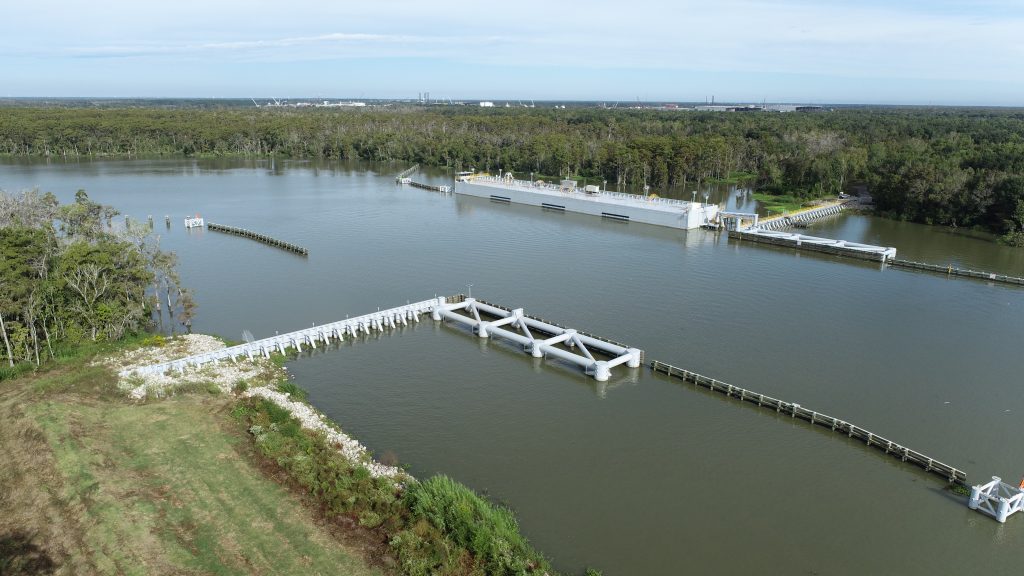
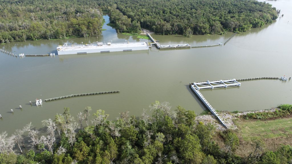
With the success of the temporary 2011 project, SMLD procured and contracted with APTIM (with the help of TBaker Smith and Miller Engineers and Associates) in 2012 to design a permanent structure in Bayou Chene south of Amelia, Louisiana. The project is currently designed for backwater flooding with the following features:
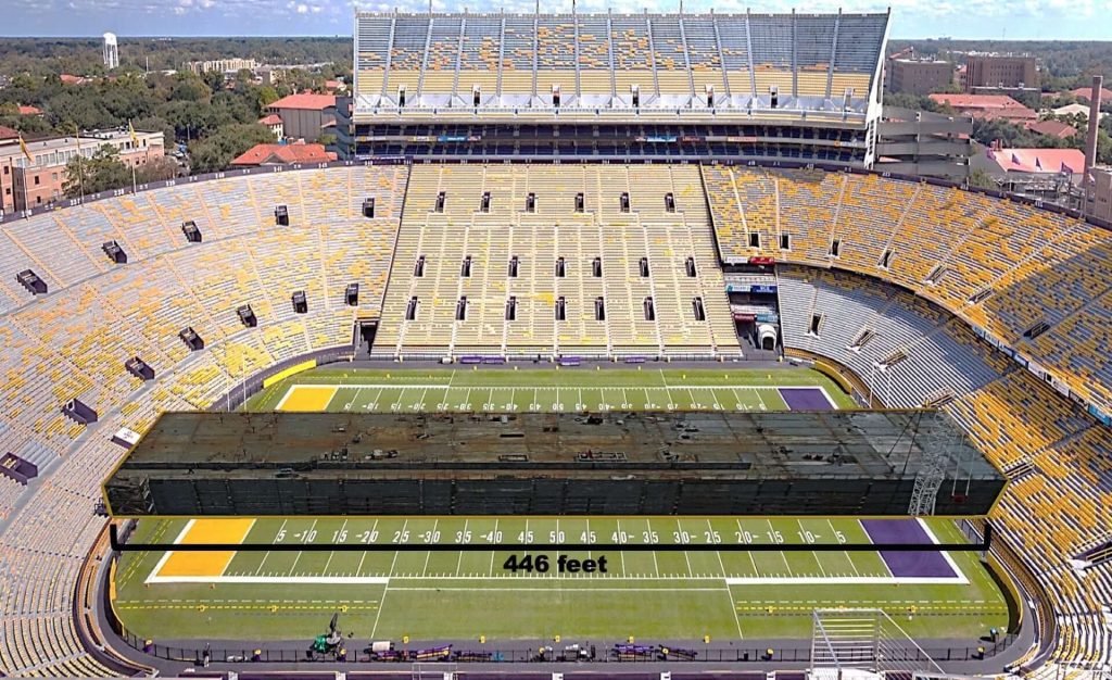
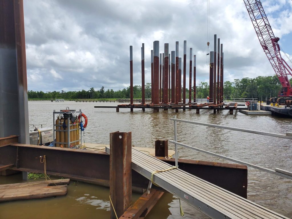
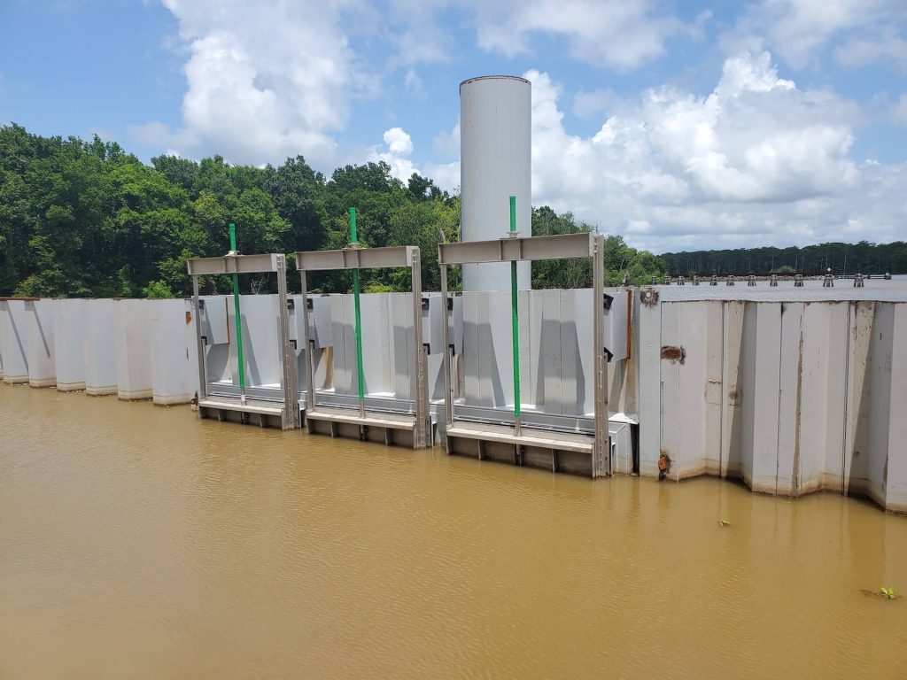
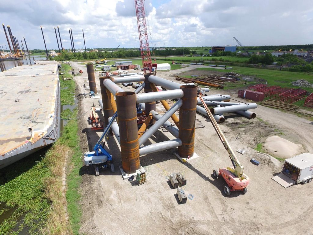
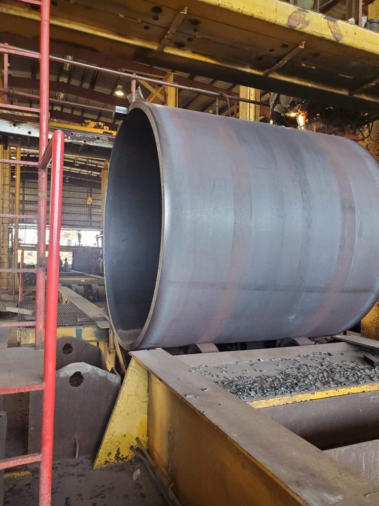
- Steel receiving structure +8.0’ and flood gate, +10.0’, 400’ opening
- Braced steel sheet pile floodwalls to elevation +10.0’
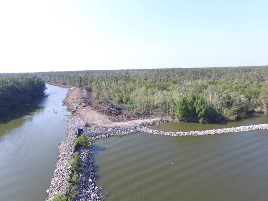
- Elevate the existing Avoca Road to elevation +8.0’
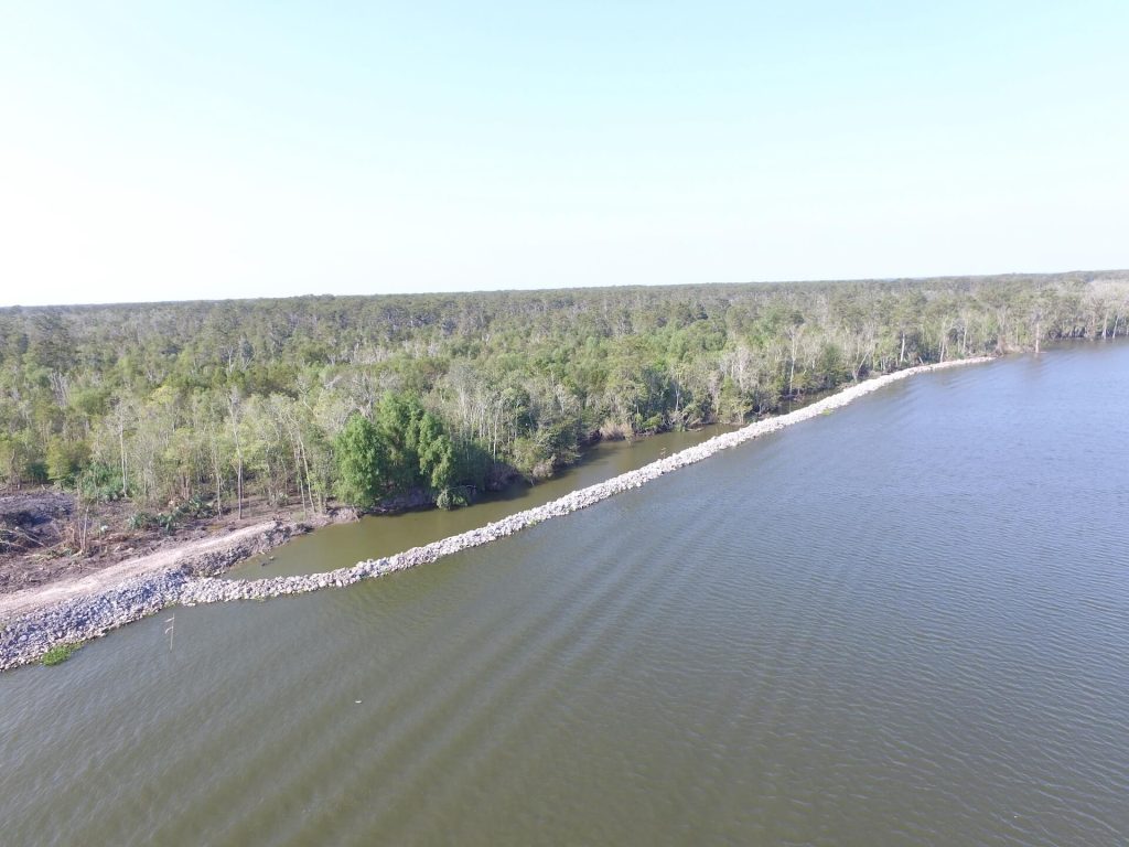
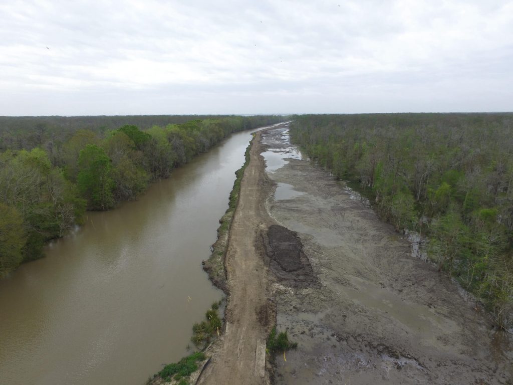
- An earthen levee from Avoca Road to the Structure along the existing borrow canal to elevation +8.0’
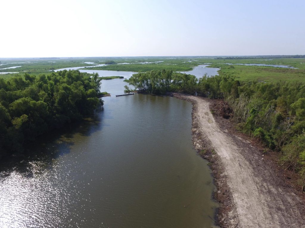
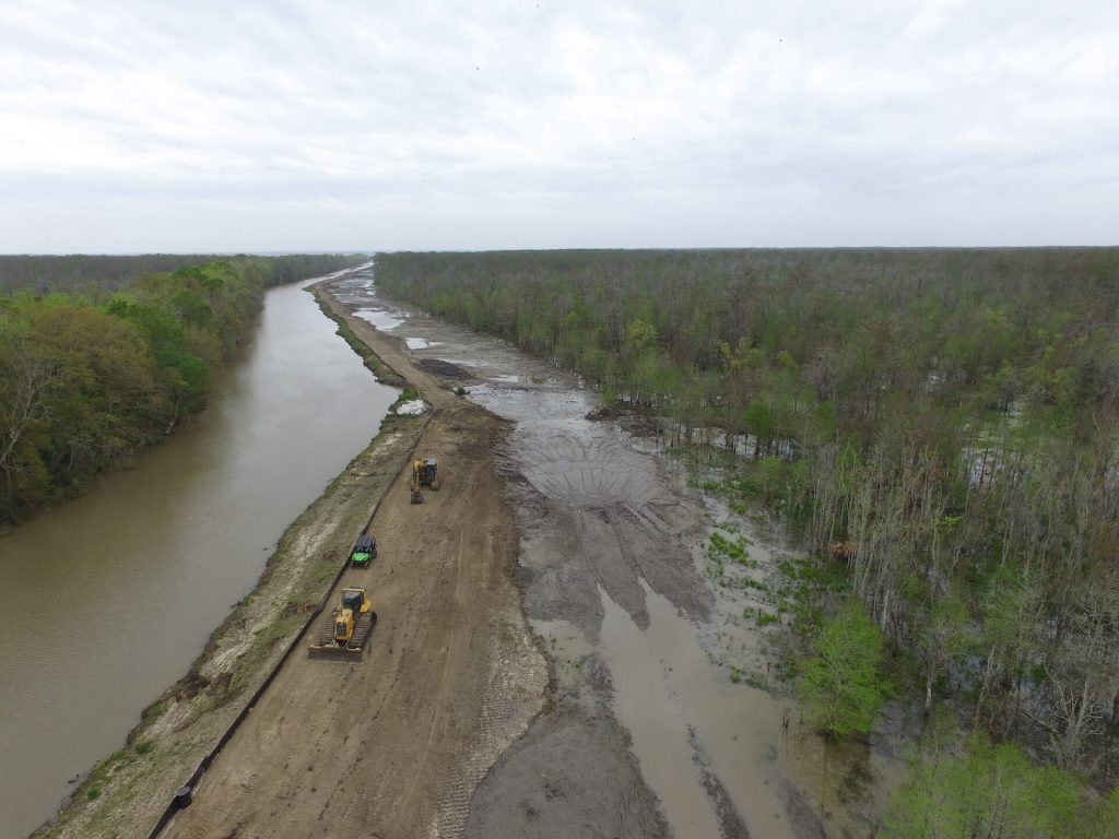
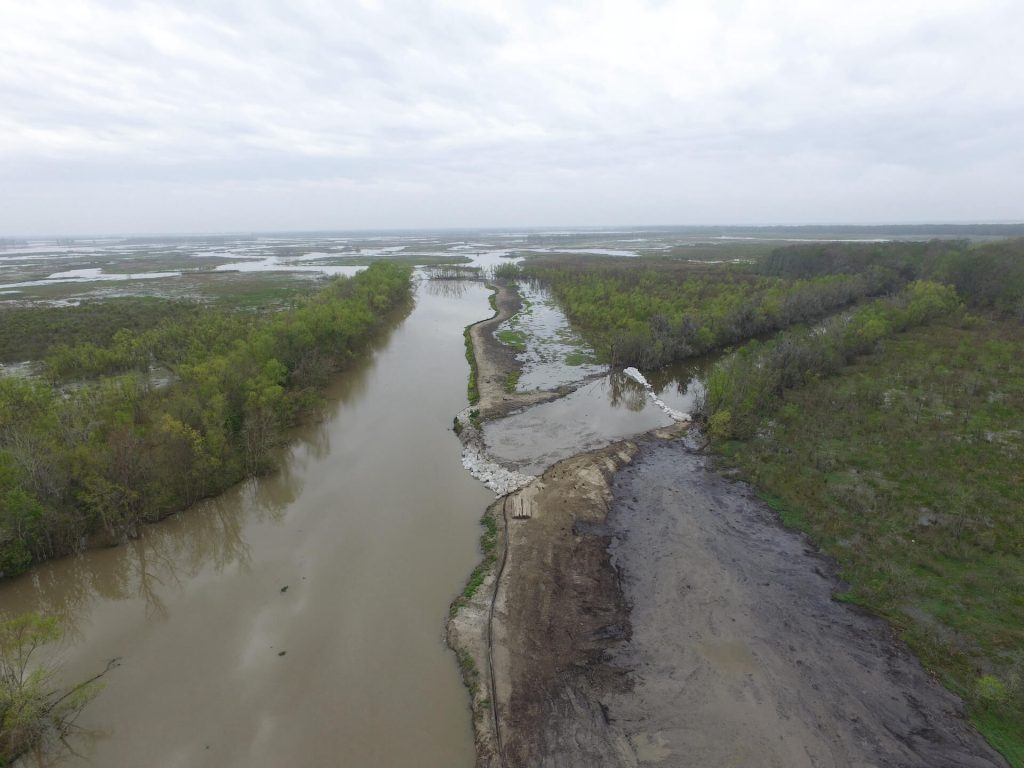
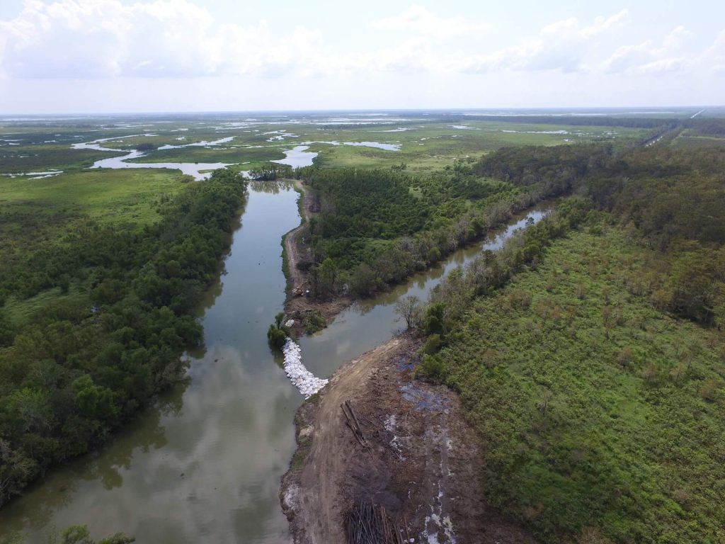
- An earthen levee with geotextile fabric from the south side of the closure structure to Tabor Canal to elevation +8.0’
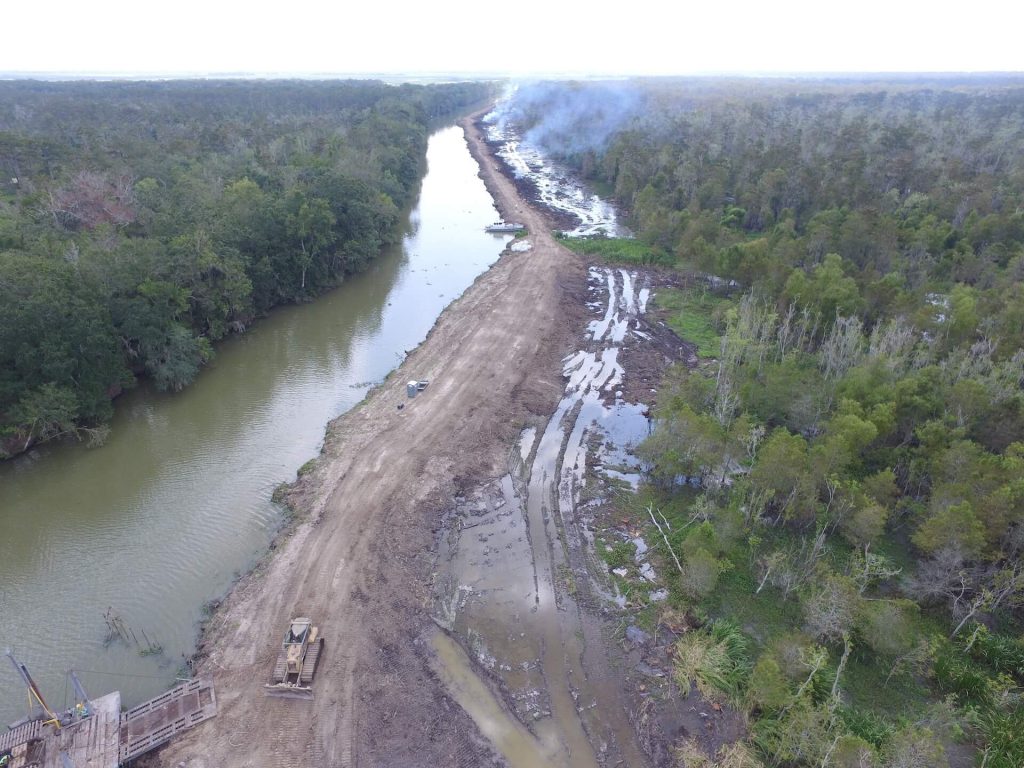
- Earthen levees along Tabor Canal utilizing the existing berm and geotextile fabric to elevation +8.0’
- A weir structure at the end of Tabor Canal to an elevation of +6.0’
The design of the permanent structure is currently 100% complete and under construction.
Operation of the Permanent Structure
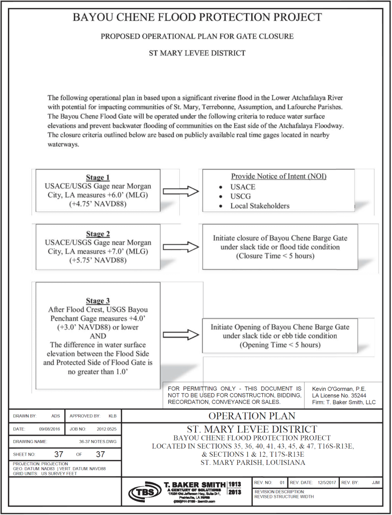
The closure of the permanent structure will follow the “permitted” criteria that was approved by the United States Army Corp of Engineers during the permitting process.
Stage 1 USACE Gauge near Morgan City, LA measures +6.0′ (MLG) → Provide Notice of Intent (NOI) USACE, USCG, and Local Stakeholders
Stage 2 USACE Gauge near Morgan City, LA measures +7.0′ (MLG) → Initiate closure of Bayou Chene Barge Gate under slack tide or flood tide condition (Closure Time < 5 hours)
Stage 3 After flood crest, USGS Bayou Penchant Gauge measures +4.0′ or lower and the difference in water surface elevation between flood side and protected side of flood gate is no greater than 1.0′ → Initiate opening of Bayou Chene Barge Gate under slack tide or ebb tide condition (Opening Time < 5 hours)
Construction Cost Estimate
Permanent Structure $80,000,000
Permanent Structure Project Schedul
In February of 2019 Governor John Bell Edwards announced that The Coastal Protection and Restoration Authority (CPRA) using Gulf Of Mexico Energy Security Act (GOMESA) funds would fund the entire $80 million project that is the permanent Bayou Chene structure.
The project has been phased out for bidding and funding purposes. Phase 1A, Clearing and Grubbing of Tabor canal was completed in mid November. Phase 1B, Dredging and spoil placement for the new levee on Tabor Canal has begun and will be completed by June of 2020. Patriot Construction is the contractor for phase 1a and 1b. Phase 2, flood wall and receiving structure bid opening was on February 19th, 2020 and the project has been awarded to SeaLevel Construction.
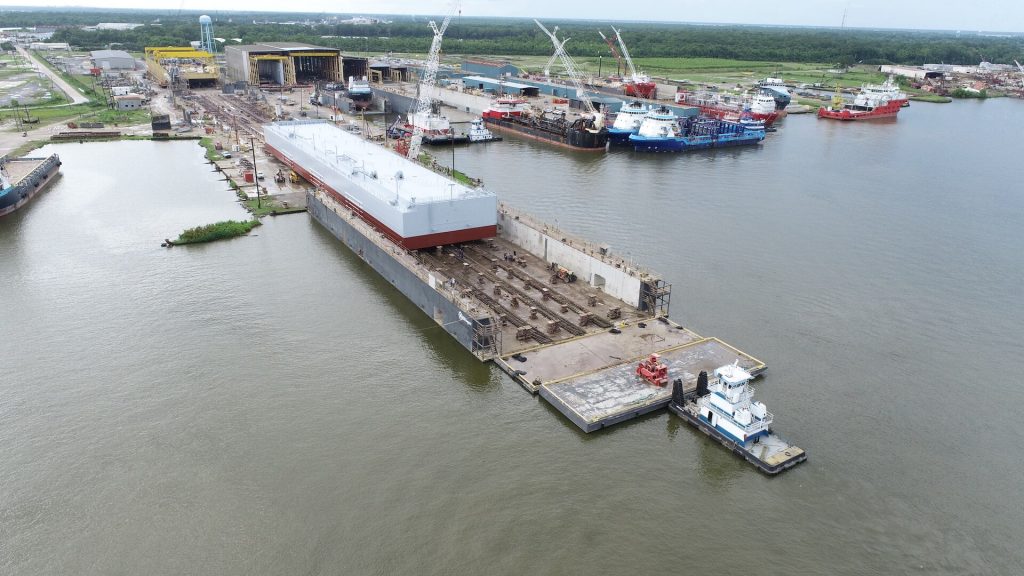
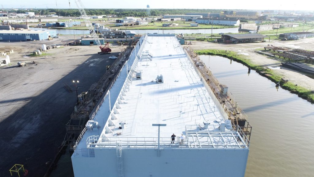
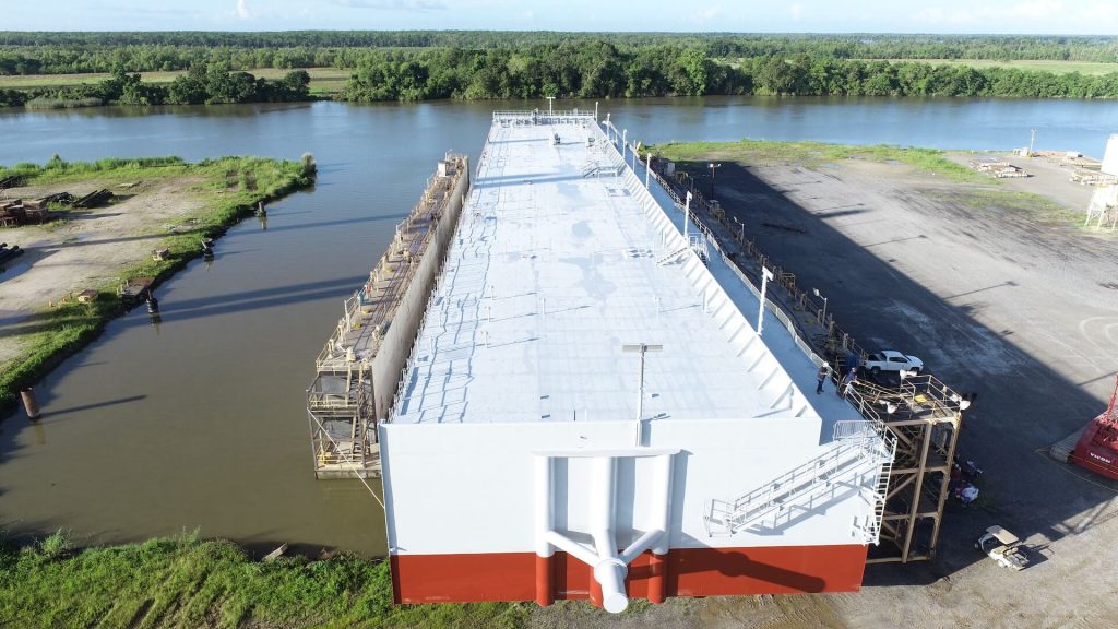
The “Notice to proceed” on phase 2 was given on April 27th, 2020 and the contractor is on site. Phase 2 has a 460 day construction time. Phase 3 is the construction and installation of the barge and pivot pile. Phase 3 was awarded to SeaLevel Construction. The “notice to proceed” for Phase 3 was given on June 5th, 2020 and has a 460 day construction time. Phase 4 has been broken into two phases. Phase 4a will be the work on Avoca Island road and has been completed. Phase 4b will be the remaining work on the Tabor Canal levee. Phase 4b (Tabor Canal Levee) was awarded to Ridgid Construction on September 9th, 2021 and has an expected completion date of mid April 1st, 2022.
Bayou Chene Flood Protection Structure was dedicated in April of 2022 and has been fully functional since then.
