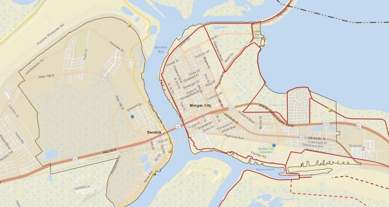
Explore The System
This interactive map is a one stop shop for any questions you have in the district.
Here is a list of all the different layers and information. Click on the layer in the map portal and it will add the overlay.
- Project Locations
- Marinas
- Ports
- Levee Segments
- Proposed Levees
- Levee Elevations
- High Water Marks from past storms
- Drainage Districts
- Parcel Maps From St. Mary Parish Assessor’s Office
- Flood Zone Maps
- LIDar
Click on the map below to access the portal.